Mapbox MCP Server
Geocode addresses, get directions, calculate distances and generate maps with Mapbox's location platform.
Ask AI about this MCP Server
Vinkius AI Gateway supports streamable HTTP and SSE.
Works with every AI agent you already use
…and any MCP-compatible client
What is the Mapbox MCP Server?
The Mapbox MCP Server gives AI agents like Claude, ChatGPT, and Cursor direct access to Mapbox. Geocode addresses, get directions, calculate distances and generate maps with Mapbox's location platform. Powered by the Vinkius AI Gateway — no API keys, no infrastructure, connect in under 2 minutes.
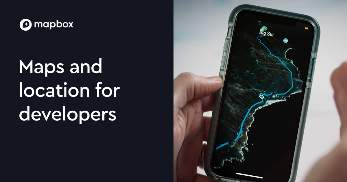
Mapbox MCP Server: see your AI Agent in action
Built-in capabilities (8)
geocode
Returns the place name, coordinates, address components (street, city, state, postal code, country), place type and bounding box. Use this to find coordinates for use with directions, distance matrix and other tools. Convert a place name to coordinates
get_directions
Returns route distance, duration, geometry, step-by-step instructions and maneuver data. Supports driving (mapbox/driving), walking (mapbox/walking) and cycling (mapbox/cycling) profiles. Coordinates are semicolon-separated "longitude,latitude" pairs (e.g. "-77.0365,38.8977;-74.006,40.7128" for DC to NYC). Get driving, walking or cycling directions
get_distance_matrix
Useful for logistics, delivery routing and travel planning. Returns a matrix of durations (seconds) and distances (meters) between all source-destination pairs. Coordinates are semicolon-separated "lon,lat" pairs. Supports driving, walking and cycling profiles. Get travel times between multiple origins and destinations
get_elevation
Useful for hiking, aviation and geographic research. Coordinates are comma-separated "lon,lat" pairs. Get elevation for coordinates
get_isochrone
Returns polygon contours showing the reachable area. Useful for determining service areas, commute ranges and accessibility. Coordinates are "lon,lat". Get reachable area within a time or distance
get_static_map
Returns a direct image URL that can be used in markdown, HTML or downloaded. Supports customizable zoom level and image dimensions. Generate a static map image for a location
reverse_geocode
Returns the nearest address, city, state, country and other location details. Convert coordinates to an address
search_nearby
Returns nearby places with names, addresses, categories, distances and coordinates. Use query to search for specific types of places (e.g. "restaurant", "gas station", "hotel"). Search for places near coordinates
What this connector unlocks
Connect to Mapbox and access world-class location services through natural conversation.
What you can do
- Geocoding — Convert addresses, place names and POIs to coordinates and structured addresses
- Reverse Geocoding — Convert GPS coordinates to human-readable addresses
- Directions — Get driving, walking and cycling routes with step-by-step instructions
- Distance Matrix — Calculate travel times and distances between multiple locations
- Isochrones — Show areas reachable within a specific time or distance
- Elevation — Get elevation data for any coordinates
- Static Maps — Generate map image URLs for any location
- Nearby Search — Find points of interest near coordinates
How it works
1. Subscribe to this server
2. Enter your Mapbox Access Token
3. Start using location services from Claude, Cursor, or any MCP-compatible client
Who is this for?
- Developers — geocode addresses, calculate routes and generate map images via API
- Logistics — optimize delivery routes with distance matrices and isochrones
- Travelers — get directions, find nearby places and check elevation data
Frequently asked questions
Give your AI agents the power of Mapbox
Access Mapbox and 2,500+ MCP servers — ready for your agents to use, right now. No glue code. No custom integrations. Just plug Vinkius AI Gateway and let your agents work.