#location-intelligence
Conectores location-intelligence — despliega uno y tu agente opera al instante.
11 apps


#location-intelligence
11 appsGoogle Maps Platform
9 herramientasGet directions, place details, geocoding, and timezone data via official Google Maps APIs.
ArcGIS
10 herramientasAutomate mapping and spatial analysis via ArcGIS — perform geocoding, route solving, vehicle routing, and calculate origin-destination matrices from any AI agent.
Foursquare
10 herramientasEmpower location intelligence via Foursquare — search millions of places, retrieve rich venue details and photos, and discover nearby POIs directly from any AI agent.
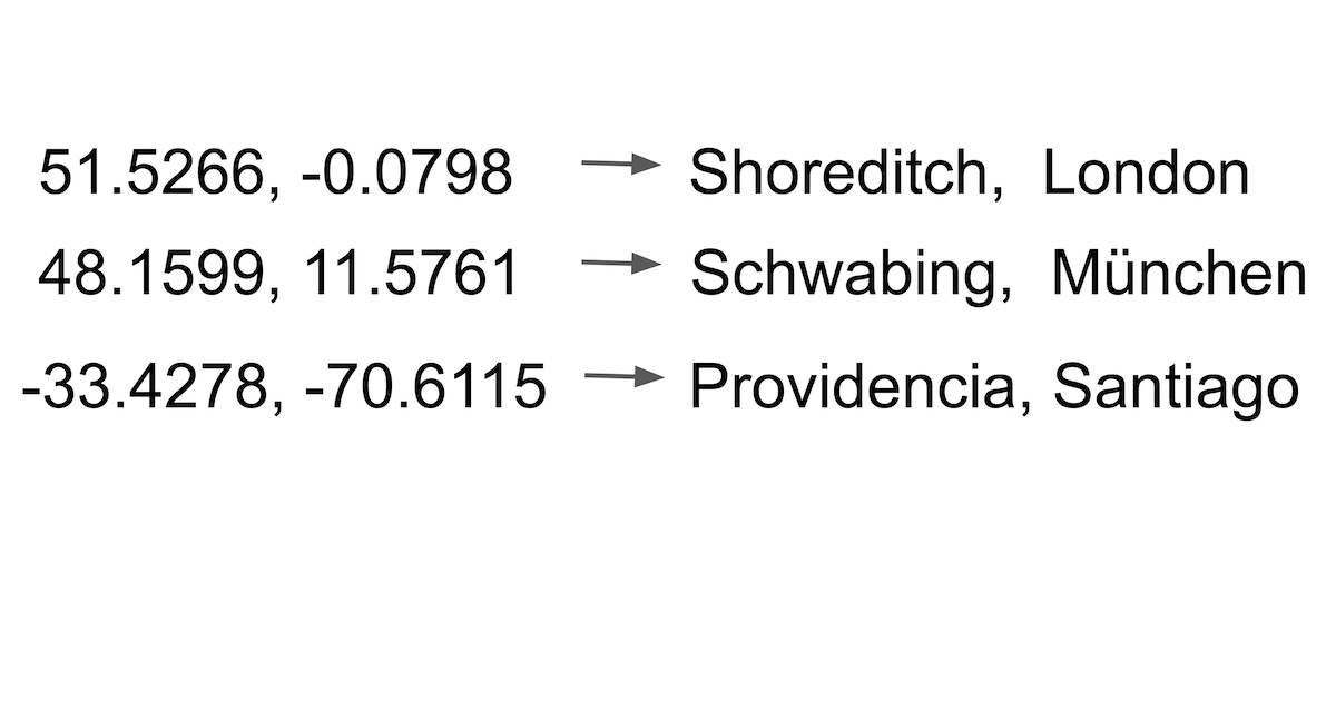
LocationIQ (Geocoding & Maps)
10 herramientasBuild with location data via LocationIQ — geocode addresses, calculate routes, and perform reverse lookups.
OpenCage
10 herramientasGeocode addresses and reverse-geocode coordinates via OpenCage — convert locations to lat/lng and back with country, language, and privacy filters from any AI agent.

Nearmap (High-Res Aerial Imagery & AI)
10 herramientasManage geospatial data via Nearmap — retrieve high-res aerial imagery, extract AI features, and audit survey coverage.
SafeGraph
10 herramientasIntegrate SafeGraph's premier geospatial dataset into your AI. Discover detailed POIs, analyze foot traffic patterns, and process precise building geometries seamlessly from conversational prompts.
CARTO
10 herramientasEmpower your AI agents to execute spatial SQL, generate routes, create driving isolines, and bulk geocode directly on CARTO.

Precisely
10 herramientasEquip your AI with precise location intelligence — geocode addresses, resolve property risks, calculate local taxes, and analyze demographics globally.
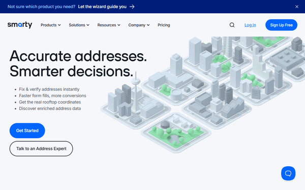
Smarty
7 herramientasEquip your AI with enterprise-grade location intelligence to validate, autocomplete, and extract US or International addresses instantly.
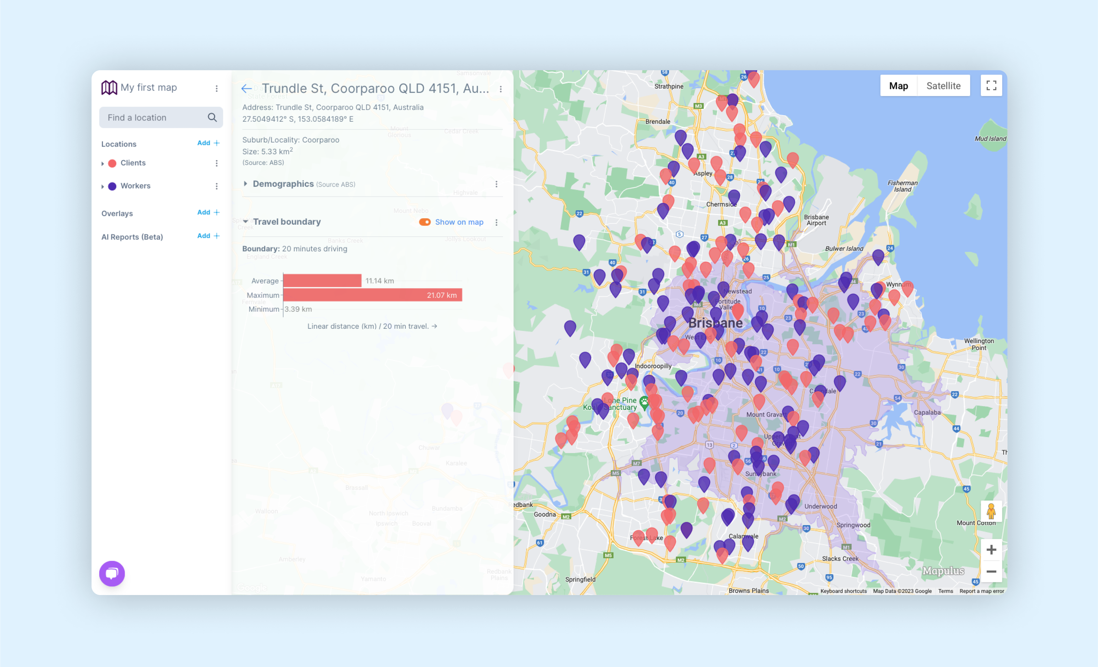
Mapulus
9 herramientasMapulus Location Intelligence for Australia — access boundaries, demographics, and spatial analytics.