#mapping
Conectores mapping — despliega uno y tu agente opera al instante.
11 apps


#mapping
11 appsGoogle Maps
4 herramientasEmpower location intelligence via Google Maps — perform geocoding, search millions of places, retrieve rich venue details, and calculate directions directly from any AI agent.
ArcGIS
10 herramientasAutomate mapping and spatial analysis via ArcGIS — perform geocoding, route solving, vehicle routing, and calculate origin-destination matrices from any AI agent.
Mapbox (Maps & Geospatial)
10 herramientasBuild with location data via Mapbox — geocode addresses, calculate routes, and solve trip optimization.
Foursquare
10 herramientasEmpower location intelligence via Foursquare — search millions of places, retrieve rich venue details and photos, and discover nearby POIs directly from any AI agent.
TomTom
10 herramientasEquip your AI agent with global mapping, routing, and real-time traffic capabilities powered by TomTom.

FRED GeoFRED — Regional Economic Data
3 herramientasAccess regional economic data for every U.S. state, county, metro area, and Federal Reserve district — unemployment by state, median income by MSA, GDP by county, all from the official GeoFRED database.
Jawg Maps (Location & Routing)
10 herramientasBuild with location data via Jawg Maps — search places, calculate routes, compute distance matrices, and get elevation data.
%20-%201200%20x%20630px.png)
Radar
10 herramientasEquip your AI with geolocation tools — convert coordinates to addresses, map intellectual territories, calculate routes, and perform IP-based lookups.

IndoorAtlas (Indoor Positioning)
10 herramientasManage indoor positioning via IndoorAtlas — list venues, upload floorplans, and analyze positioning sessions.

Pointr
10 herramientasGrant your AI access to precision indoor mapping. Navigate buildings, track BLE beacons, and find POIs.
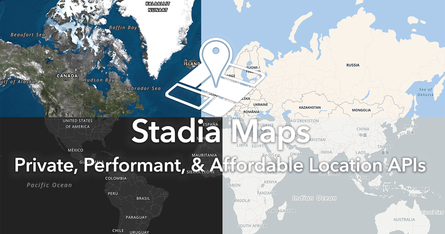
Stadia Maps
10 herramientasEquip your AI with advanced geospatial routing and mapping logic. Calculate distances, geocode coordinates, and plot optimized trips securely.