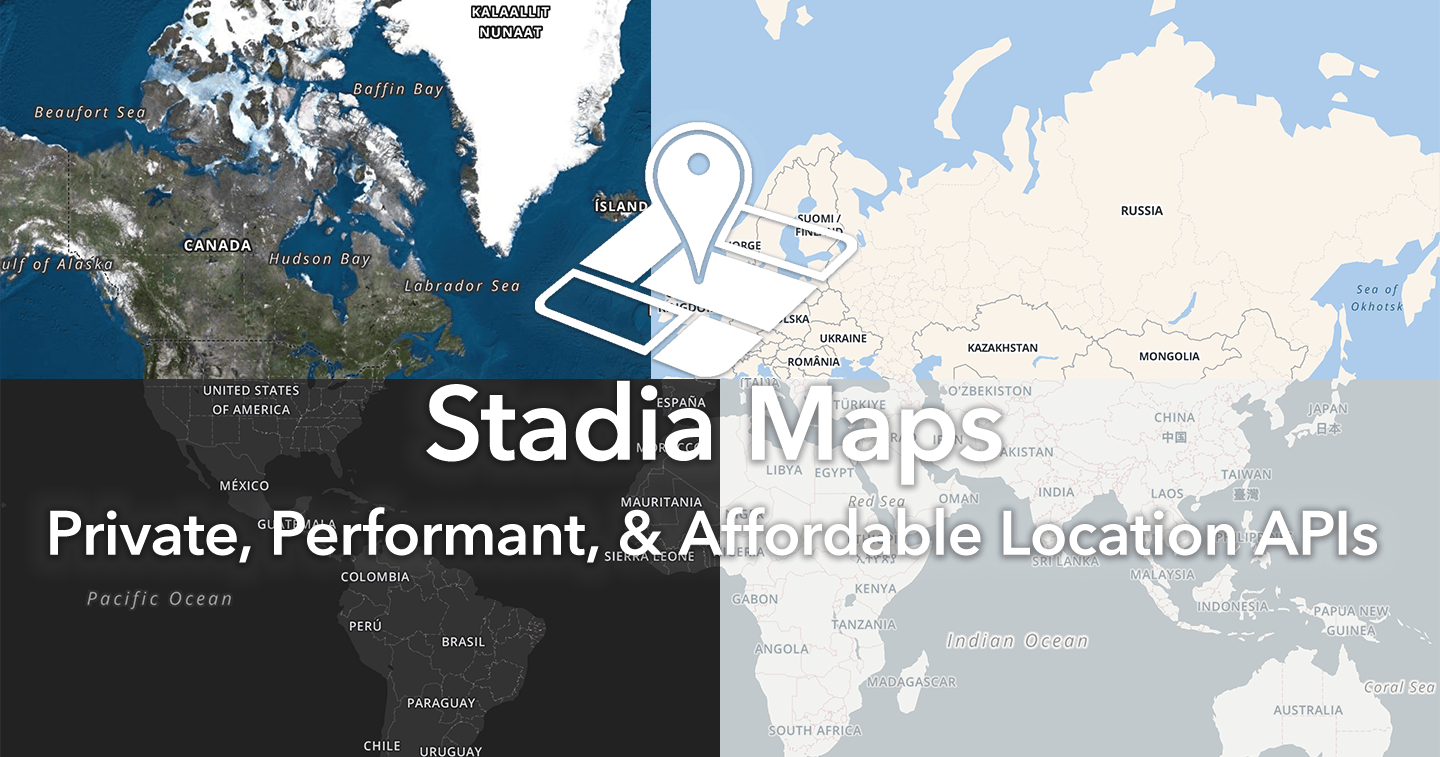
Stadia Maps MCP Server
Equip your AI with advanced geospatial routing and mapping logic. Calculate distances, geocode coordinates, and plot optimized trips securely.
Vinkius AI Gateway suporta streamable HTTP e SSE.
Funciona com todos os agentes de IA que você já usa
…e qualquer cliente compatível com MCP
Stadia Maps MCP Server: veja o seu AI Agent em ação
Capacidades integradas (10)
autocomplete_location
Provides predictive address suggestions based on partial input
calculate_distance_matrix
Calculates distances and travel times between multiple points
calculate_isochrone
Calculates an area reachable within a specific time or distance
calculate_route
Locations should be a JSON array of {lat, lon}. Costing can be "auto", "bicycle", or "pedestrian". Calculates a route between multiple geographic points
execute_map_matching
Snaps raw GPS points to the road network
forward_geocode
Converts a physical address string into geographic coordinates
get_path_elevation
Retrieves elevation/height data for a specific geographic path
get_timezone
Retrieves the local timezone for specific geographic coordinates
optimized_trip_route
Returns the optimized path. Calculates the most efficient route between multiple stops
reverse_geocode
Converts geographic coordinates into a physical address
O que esse conector desbloqueia
Imbue your artificial intelligence environment with the geospatial and routing capabilities of Stadia Maps. Seamlessly audit logistical questions and compute optimal transit routes across numerous delivery points without leaving your conversational interface. Empower your assistant to translate standard addresses into precise geographic coordinates, calculate time-and-distance matrices objectively, or parse topographical elevation data efficiently, connecting global mapping infrastructure directly to your local workflows.
What you can do
- Geospatial Coordination — Convert physical addresses into exact coordinates using
forward_geocode, or deduce properties from latitude and longitude viareverse_geocode. - Route Computation — Instruct your AI to generate accurate driving vectors between locations via
calculate_route, and establish extensive routing cost-matrices utilizingcalculate_distance_matrix. - Logistical Optimization — Resolve complex routing problems automatically with
optimized_trip_route, and map exact reachable perimeters utilizingcalculate_isochrone. - Topography & Precision — Align raw GPS tracks to official street networks accurately with
execute_map_matching, and retrieve detailed elevation metrics applyingget_path_elevation.
How it works
1. Connect the Stadia Maps MCP module natively to your active AI environment.
2. Securely provide your Developer API Key within the MCP configuration.
3. Engage your coding assistant: "Plot the most efficient vehicle route intersecting these specific delivery coordinates."
Who is this for?
- Logistics Engineers — Construct and test delivery scheduling models natively, instructing the AI to solve complex routing problems.
- GIS Data Analysts — Accurately refine and correct noisy fleet GPS tracker data points entirely through the integration.
- Fleet Dispatchers — Audit and establish local timezone contexts for globally distributed assets effectively.
Perguntas frequentes
Dê aos seus agentes de IA o poder do Stadia Maps
Acesse o Stadia Maps e mais de 2.000 servidores MCP — prontos para seus agentes usarem, agora mesmo. Sem código cola. Sem integrações customizadas. Apenas plugue o Vinkius AI Gateway e deixe seus agentes trabalharem.
Mais nesta categoria

Centaur Analytics
12 ferramentasAccess AI-powered grain monitoring via Centaur — track CO2, moisture, temperature, predict spoilage, and forecast grain quality from any AI agent.

Kelkoo
8 ferramentasSearch product offers, compare prices, and explore retail catalogs via Kelkoo.

Sprout Social
10 ferramentasEmpower your AI with a full social media command center. Draft posts, track global analytics, and master listening topics natively across all brands.
Você também pode gostar
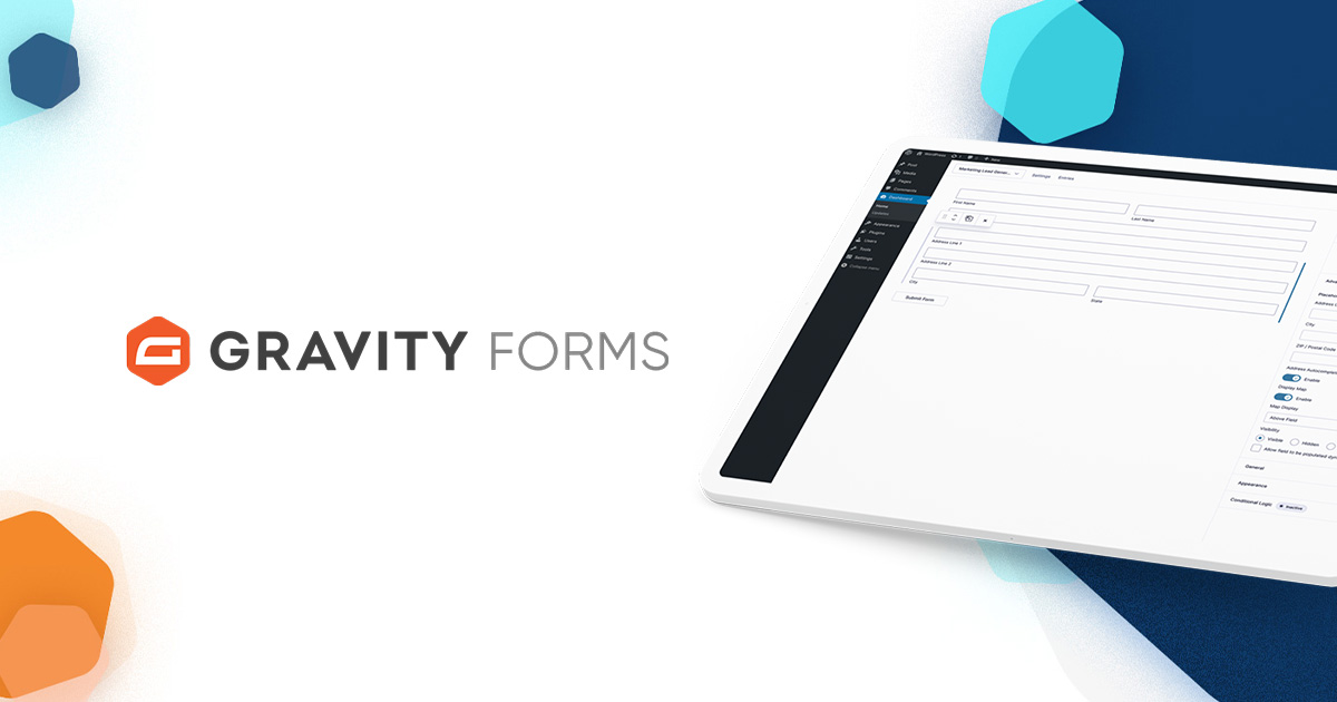
Gravity Forms
12 ferramentasManage your WordPress Gravity Forms — list forms, retrieve entries, and handle submissions directly via AI.

MeetingPulse
10 ferramentasInteractive audience engagement via MeetingPulse — track polls, Q&As, and meeting analytics.
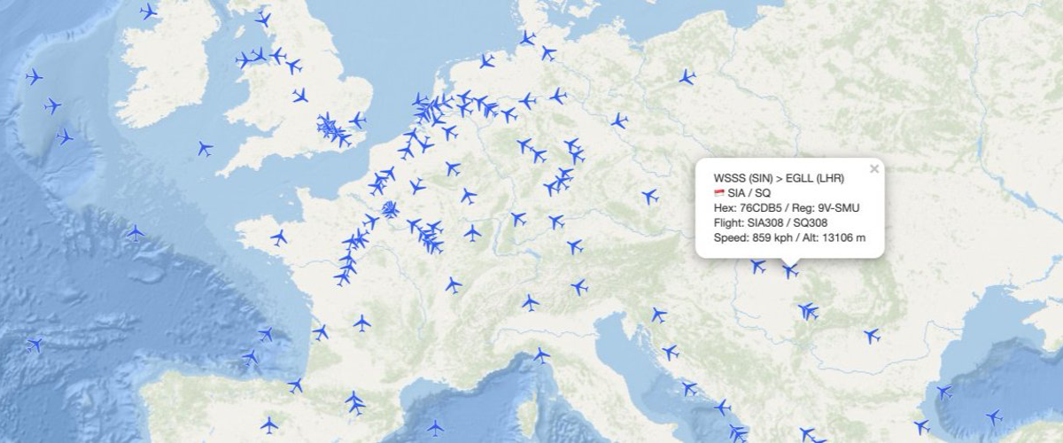
AirLabs
12 ferramentasAccess global aviation data via AirLabs — track real-time flights, search airports and airlines, check schedules, and analyze routes from any AI agent.