#satellite-imagery
Conectores satellite-imagery — implante um e seu agente opera na hora.
5 apps


#satellite-imagery
5 appsEOSDA
12 ferramentasAccess satellite agriculture data via EOSDA — monitor crop health, vegetation indices, weather, soil moisture, and generate zoning maps from any AI agent.
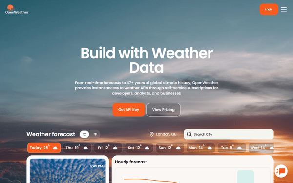
OpenWeather Agro
12 ferramentasAccess agricultural weather and satellite data via OpenWeather — monitor NDVI, soil temperature, evapotranspiration, frost risk, and GDD from any AI agent.
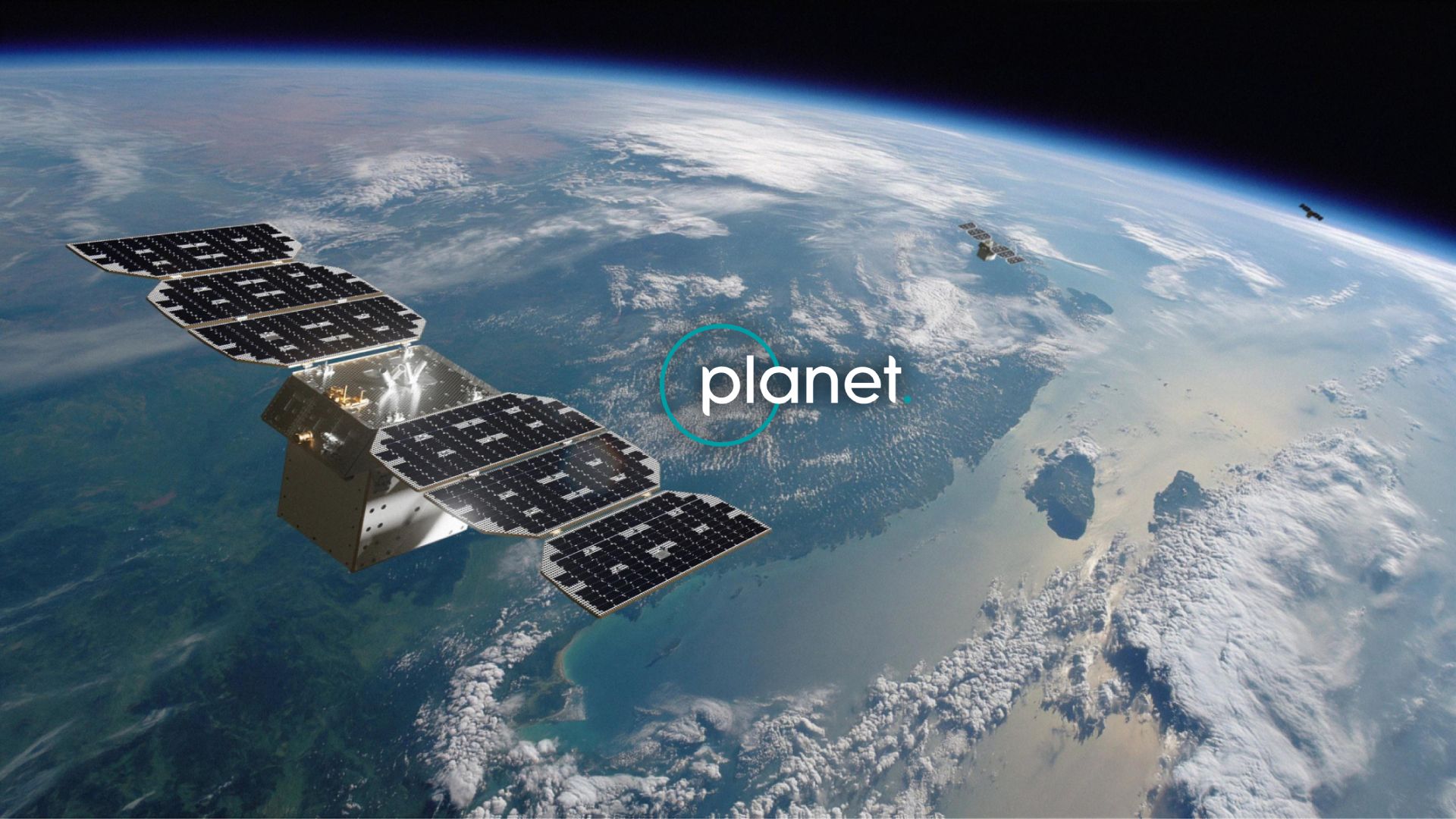
Planet Labs
12 ferramentasAccess daily satellite imagery via Planet Labs — search PSScene, SkySat, and RapidEye imagery, filter by cloud cover, and set up automated imagery delivery from any AI agent.
Farmonaut
12 ferramentasAccess satellite agriculture data via Farmonaut — monitor crop health with NDVI, weather, soil moisture, crop advisory, and deforestation alerts from any AI agent.
NASA Earth — Full-Disk Imagery & Natural Events
5 ferramentasView Earth from 1.5 million km away through DSCOVR's EPIC camera (full-disk images in natural and enhanced color) and track active natural events worldwide through EONET: wildfires, volcanic eruptions, severe storms, icebergs, and more.