Deja que agentes de IA operen tus apps de geocoding-maps.
Los mejores conectores de geocoding-maps — despliega uno y tu agente opera al instante.


geocoding-maps
34 appsGoogle Maps Platform
9 herramientasGet directions, place details, geocoding, and timezone data via official Google Maps APIs.
Google Maps
4 herramientasEmpower location intelligence via Google Maps — perform geocoding, search millions of places, retrieve rich venue details, and calculate directions directly from any AI agent.
ArcGIS
10 herramientasAutomate mapping and spatial analysis via ArcGIS — perform geocoding, route solving, vehicle routing, and calculate origin-destination matrices from any AI agent.
Mapbox (Maps & Geospatial)
10 herramientasBuild with location data via Mapbox — geocode addresses, calculate routes, and solve trip optimization.

Foursquare
10 herramientasEmpower location intelligence via Foursquare — search millions of places, retrieve rich venue details and photos, and discover nearby POIs directly from any AI agent.

HERE (Location & Maps)
10 herramientasBuild with location data via HERE — geocode addresses, calculate routes, track traffic, and get weather.
LocationIQ (Geocoding & Maps)
10 herramientasBuild with location data via LocationIQ — geocode addresses, calculate routes, and perform reverse lookups.
Open-Meteo Geocoding & Elevation
3 herramientasResolve any city, village, or address into GPS coordinates instantly: multilingual search, population data, timezones, and terrain elevation at 90m precision — the perfect companion for all weather tools.
Geocodio
10 herramientasEmpower geocoding via Geocodio — perform batch geocoding and reverse geocoding for US/Canada, and retrieve Census and legislative data directly from any AI agent.

GraphHopper
10 herramientasEmpower routing and geocoding via GraphHopper — calculate optimal routes, perform reverse geocoding, solve vehicle routing problems, and analyze reachability directly from any AI agent.
Google Roads
4 herramientasAccess Google Roads API — snap GPS tracks to roads, find nearest road segments, and get speed limit data for any road segment worldwide from any AI agent.
Lyko
12 herramientasAccess European public transit via Lyko — plan intermodal trips, check departures, search stops, and monitor transit operators from any AI agent.

Nearmap (High-Res Aerial Imagery & AI)
10 herramientasManage geospatial data via Nearmap — retrieve high-res aerial imagery, extract AI features, and audit survey coverage.
SafeGraph
10 herramientasIntegrate SafeGraph's premier geospatial dataset into your AI. Discover detailed POIs, analyze foot traffic patterns, and process precise building geometries seamlessly from conversational prompts.
TomTom
10 herramientasEquip your AI agent with global mapping, routing, and real-time traffic capabilities powered by TomTom.
CARTO
10 herramientasEmpower your AI agents to execute spatial SQL, generate routes, create driving isolines, and bulk geocode directly on CARTO.

FRED GeoFRED — Regional Economic Data
3 herramientasAccess regional economic data for every U.S. state, county, metro area, and Federal Reserve district — unemployment by state, median income by MSA, GDP by county, all from the official GeoFRED database.
Pelias Geocoder
10 herramientasMap geospatial structures via Pelias APIs — convert coordinates, perform reverse geocoding, autocomplete POIs, and retrieve addresses natively by AI logs.

Precisely
10 herramientasEquip your AI with precise location intelligence — geocode addresses, resolve property risks, calculate local taxes, and analyze demographics globally.
%20-%201200%20x%20630px.png)
Radar
10 herramientasEquip your AI with geolocation tools — convert coordinates to addresses, map intellectual territories, calculate routes, and perform IP-based lookups.
TfL
12 herramientasAccess London transport data via TfL — track tube and bus arrivals, plan journeys, check line status, and find bike points from any AI agent.
HERE Mobility
8 herramientasAI transit planning: discover routes, schedules, and stations for public transport via agents.

IndoorAtlas (Indoor Positioning)
10 herramientasManage indoor positioning via IndoorAtlas — list venues, upload floorplans, and analyze positioning sessions.
Parkopedia
10 herramientasGlobal parking search, EV charging, and restrictions data via Parkopedia API.

Pointr
10 herramientasGrant your AI access to precision indoor mapping. Navigate buildings, track BLE beacons, and find POIs.
Stadia Maps
10 herramientasEquip your AI with advanced geospatial routing and mapping logic. Calculate distances, geocode coordinates, and plot optimized trips securely.
Strava Planning
14 herramientasPlan routes, export GPX/TCX, create activities, manage gear, and star segments on Strava.
IBGE Localidades — Cidades do Brasil
5 herramientasGive your AI agent a precise map of Brazil: all 5,570 municipalities, 27 states, 5 macro-regions, metropolitan areas, and the complete administrative hierarchy — zero authentication required.
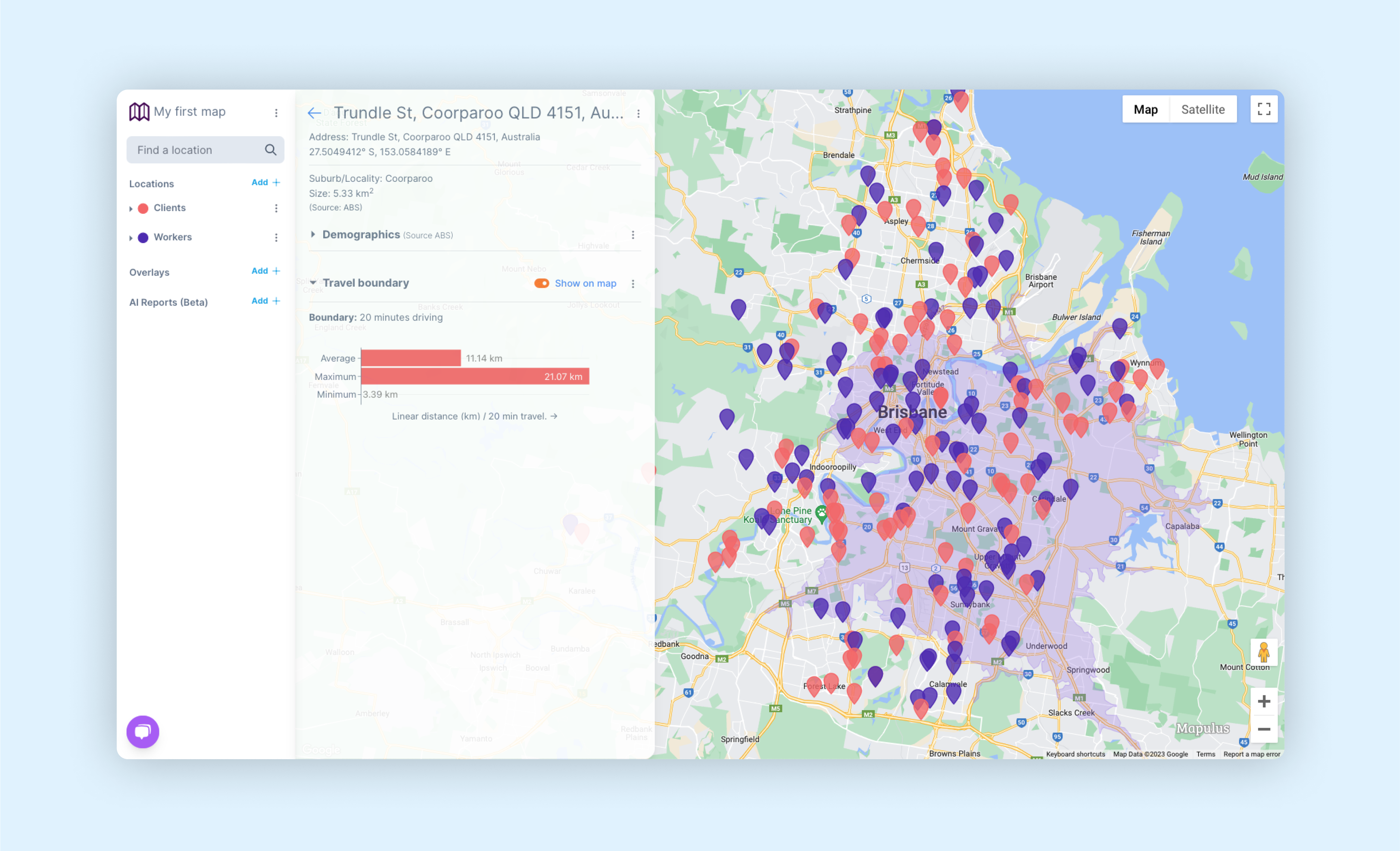
Mapulus
9 herramientasMapulus Location Intelligence for Australia — access boundaries, demographics, and spatial analytics.
Road511 Trucking
10 herramientasAccess trucking data via Road511 — track truck routes, bridge clearances, weigh stations, truck stops, parking, and weight restrictions across US and Canada from any AI agent.

Veraset
10 herramientasEquip your agent to seamlessly query Veraset's mobility datasets. Run geospatial SQL, extract insights, and manage S3 buckets.

CTA
11 herramientasAccess Chicago transit data via CTA — track L trains and buses in real-time, check arrivals, monitor service alerts, and plan trips from any AI agent.
Road511
8 herramientasAccess real-time US and Canada traffic data via Road511 — track incidents, monitor cameras, check road conditions, and analyze trends from any AI agent.
LA Metro
12 herramientasAccess Los Angeles Metro data via API — track buses and rail in real-time, check arrivals, plan rail trips, and monitor service alerts from any AI agent.