Mapbox (Maps & Geospatial) MCP Server for Cline 10 tools — connect in under 2 minutes
Cline is an autonomous AI coding agent inside VS Code that plans, executes, and iterates on tasks. Wire Mapbox (Maps & Geospatial) through Vinkius and Cline gains direct access to every tool. from data retrieval to workflow automation. without leaving the terminal.
ASK AI ABOUT THIS MCP SERVER
Vinkius supports streamable HTTP and SSE.
Vinkius Desktop App
The modern way to manage MCP Servers — no config files, no terminal commands. Install Mapbox (Maps & Geospatial) and 2,500+ MCP Servers from a single visual interface.


{
  "mcpServers": {
    "mapbox-maps-geospatial": {
      "url": "https://edge.vinkius.com/[YOUR_TOKEN_HERE]/mcp"
    }
  }
}
* Every MCP server runs on Vinkius-managed infrastructure inside AWS - a purpose-built runtime with per-request V8 isolates, Ed25519 signed audit chains, and sub-40ms cold starts optimized for native MCP execution. See our infrastructure
About Mapbox (Maps & Geospatial) MCP Server
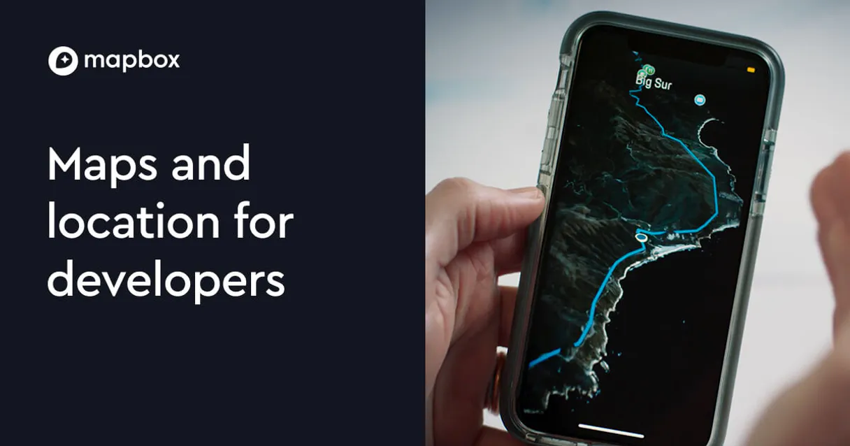
Connect your Mapbox account to any AI agent and take full control of world-class geocoding, navigation, and geospatial intelligence through natural conversation.
Cline operates autonomously inside VS Code. it reads your codebase, plans a strategy, and executes multi-step tasks including Mapbox (Maps & Geospatial) tool calls without waiting for prompts between steps. Connect 10 tools through Vinkius and Cline can fetch data, generate code, and commit changes in a single autonomous run.
What you can do
- Geocoding & Search — Convert text addresses into precise geographic coordinates (GeoJSON) or perform reverse lookups to identify locations from GPS points directly
- Advanced Routing — Calculate driving, walking, or cycling directions between up to 25 points, including real-time traffic-aware ETA and turn-by-turn navigation data
- Trip Optimization — Solve the Traveling Salesperson Problem (TSP) by determining the most efficient order to visit multiple coordinates to minimize travel time
- Isochrone Analysis — Compute reachable area polygons within specific travel times (e.g., 'What areas are within a 15-minute walk?') for urban planning and delivery logic
- Road Snapping — Align noisy or distorted GPS traces perfectly onto the road network using native map matching configurations for accurate tracking
- Geospatial Intelligence — Query high-resolution elevation data for any coordinate or generate static map image URLs for rapid visual verification
- Logistics Matrices — Compute all-to-all travel times and distances between multiple origins and destinations to optimize fleet management workflows
The Mapbox (Maps & Geospatial) MCP Server exposes 10 tools through the Vinkius. Connect it to Cline in under two minutes — no API keys to rotate, no infrastructure to provision, no vendor lock-in. Your configuration, your data, your control.
How to Connect Mapbox (Maps & Geospatial) to Cline via MCP
Follow these steps to integrate the Mapbox (Maps & Geospatial) MCP Server with Cline.
Open Cline MCP Settings
Click the MCP Servers icon in the Cline sidebar panel
Add remote server
Click "Add MCP Server" and paste the configuration above
Enable the server
Toggle the server switch to ON
Start using Mapbox (Maps & Geospatial)
Ask Cline: "Using Mapbox (Maps & Geospatial), help me...". 10 tools available
Why Use Cline with the Mapbox (Maps & Geospatial) MCP Server
Cline provides unique advantages when paired with Mapbox (Maps & Geospatial) through the Model Context Protocol.
Cline operates autonomously. it reads your codebase, plans a strategy, and executes multi-step tasks including MCP tool calls without step-by-step prompts
Runs inside VS Code, so you get MCP tool access alongside your existing extensions, terminal, and version control in a single window
Cline can create, edit, and delete files based on MCP tool responses, enabling end-to-end automation from data retrieval to code generation
Transparent execution: every tool call and file change is shown in Cline's activity log for full visibility and approval before committing
Mapbox (Maps & Geospatial) + Cline Use Cases
Practical scenarios where Cline combined with the Mapbox (Maps & Geospatial) MCP Server delivers measurable value.
Autonomous feature building: tell Cline to fetch data from Mapbox (Maps & Geospatial) and scaffold a complete module with types, handlers, and tests
Codebase refactoring: use Mapbox (Maps & Geospatial) tools to validate live data while Cline restructures your code to match updated schemas
Automated testing: Cline fetches real responses from Mapbox (Maps & Geospatial) and generates snapshot tests or mocks based on actual payloads
Incident response: query Mapbox (Maps & Geospatial) for real-time status and let Cline generate hotfix patches based on the findings
Mapbox (Maps & Geospatial) MCP Tools for Cline (10)
These 10 tools become available when you connect Mapbox (Maps & Geospatial) to Cline via MCP:
generate_static_map
Generate a static map image URL centered on coordinates
geocoding_session
Perform autocomplete geocoding operations attached to a session
get_directions
Calculate driving, walking, or cycling directions between points
get_distance_matrix
Calculate a distance and travel time matrix between many points
get_elevation
Query elevation data for a specific coordinate point
get_isochrones
Calculate reachable areas within a specific travel time
reverse_geocode
Perform reverse geocoding to find places or addresses at a specific coordinate
search_places
Search for places, addresses, or POIs using Mapbox Geocoding
snap_to_road
Snap noisy GPS traces sequentially to a road network
solve_optimization
Solve trip optimization (Traveling Salesperson Problem)
Example Prompts for Mapbox (Maps & Geospatial) in Cline
Ready-to-use prompts you can give your Cline agent to start working with Mapbox (Maps & Geospatial) immediately.
"Find the coordinates for 'Golden Gate Bridge' in San Francisco"
"Get driving directions from New York to Philadelphia with traffic-aware ETA"
"What areas are within a 5-minute walk from '-73.9857,40.7484'?"
Troubleshooting Mapbox (Maps & Geospatial) MCP Server with Cline
Common issues when connecting Mapbox (Maps & Geospatial) to Cline through the Vinkius, and how to resolve them.
Server shows error in sidebar
Mapbox (Maps & Geospatial) + Cline FAQ
Common questions about integrating Mapbox (Maps & Geospatial) MCP Server with Cline.
How does Cline connect to MCP servers?
Can Cline run MCP tools without approval?
Does Cline support multiple MCP servers at once?
Connect Mapbox (Maps & Geospatial) with your favorite client
Step-by-step setup guides for every MCP-compatible client and framework:
Anthropic's native desktop app for Claude with built-in MCP support.
AI-first code editor with integrated LLM-powered coding assistance.
GitHub Copilot in VS Code with Agent mode and MCP support.
Purpose-built IDE for agentic AI coding workflows.
Autonomous AI coding agent that runs inside VS Code.
Anthropic's agentic CLI for terminal-first development.
Python SDK for building production-grade OpenAI agent workflows.
Google's framework for building production AI agents.
Type-safe agent development for Python with first-class MCP support.
TypeScript toolkit for building AI-powered web applications.
TypeScript-native agent framework for modern web stacks.
Python framework for orchestrating collaborative AI agent crews.
Leading Python framework for composable LLM applications.
Data-aware AI agent framework for structured and unstructured sources.
Microsoft's framework for multi-agent collaborative conversations.
Connect Mapbox (Maps & Geospatial) to Cline
Get your token, paste the configuration, and start using 10 tools in under 2 minutes. No API key management needed.