Mapbox MCP. Plan routes, calculate distances, and map locations.
Mapbox MCP gives your AI client world-class location intelligence. It lets you convert addresses into precise coordinates, figure out driving routes between any two points, calculate travel times across multiple stops, and find nearby businesses instantly. Whether planning a complex delivery route or just needing to know the elevation at a specific spot, this connector handles all the geometry and mapping math so your agent can talk about location like a pro.
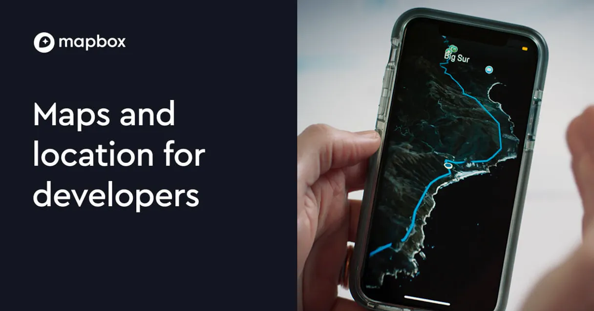
Give Claude and any AI agent real-world access
It converts any place name or street address into precise latitude and longitude coordinates.
The agent generates step-by-step instructions for driving, walking, or cycling between two points.
You can calculate the total distance and duration for multiple origins and destinations simultaneously.
It shows a polygon of all locations accessible within a specific time or travel distance from a starting point.
You get a direct image URL for any location, perfect for including in reports or documents.
The agent finds points of interest, like gas stations or restaurants, near specific coordinates.
Ask an AI about this
Waiting for input…
What AI agents can do with Mapbox MCP: 8 Location Tools
These eight tools allow your agent to perform every type of spatial data operation, from simple address lookups to complex network analysis.
Make your AI actually useful.
Add this MCP to Claude, Cursor, or Windsurf and your AI stops guessing. It gets real tools to look things up, take action, and handle the stuff you keep doing by hand.
Start using Mapbox MCPGeocode
Converts a physical address or place name into precise coordinates, providing the necessary input for other tools.
Get Directions
Calculates and returns detailed turn-by-turn instructions for driving, walking, or...
Get Distance Matrix
Generates a table showing the travel time and distance between every combination of...
Get Elevation
Retrieves the vertical height data for any given pair of coordinates, useful for...
Get Isochrone
Maps out a specific service area polygon showing all locations reachable within a...
Get Static Map
Creates and returns a direct image URL for any specified location and zoom level, ready for immediate use in documents.
Reverse Geocode
Takes coordinates and immediately translates them back into a human-readable address format.
Search Nearby
Searches for specific categories of points of interest—like hotels or...
Security and governance baked right in.
Pick your AI client below to get set up. Just create a Vinkius account, subscribe, and you're instantly up and running. We handle the entire backend infrastructure, delivering out-of-the-box support for HTTPS Streamable, SSE, and OAuth2—zero messy routing required.
Claude AI
Open Claude Settings
Go to claude.ai, click your profile icon, then navigate to Customize → Connectors.
Add Custom Connector
Click the "+" button and select Add custom connector. Paste your Vinkius endpoint URL:
https://edge.vinkius.com/[YOUR_TOKEN_HERE]/mcp
Replace [YOUR_TOKEN_HERE] with your token
from cloud.vinkius.com. For OAuth-protected servers, expand
Advanced settings to add credentials.
Start a conversation
Open a new chat. The Mapbox integration is available immediately — no restart needed.
Choose How to Get Started
Build a custom MCP for your own tools, or connect a ready-made integration from our catalog.
Build Your Own
Turn any API into an MCP. Import a spec, define Agent Skills, or deploy with MCPFusion.
- Import from OpenAPI, Swagger, or YAML specs
- Create Agent Skills with progressive disclosure
- Deploy to edge with MCPFusion framework
- Built in DLP, auth, and compliance on each call
- Real time usage dashboard and cost metering
- Publish to catalog or keep private
Make Your AI Do More
Start with Mapbox, then connect any of our 5,200+ other servers whenever your AI needs more. One click, no limits.
- Use this MCP plus 5,200+ others, all in one place
- Add new capabilities to your AI anytime you want
- Connections are secured and governed automatically
- Track usage and costs across all your servers
- Works with Claude, ChatGPT, Cursor, and more
- New servers added to the catalog weekly
Independent Platform Disclaimer: Vinkius is an independent platform and is not affiliated with, endorsed by, sponsored by, verified by, or otherwise authorized by Mapbox. All third-party trademarks, logos, and brand names are the property of their respective owners. Their use on this website is strictly for informational purposes to identify service compatibility and interoperability.
VINKIUS CLOUD
Cloud Hosted
Managed infra
V8 Isolated
Sandboxed per request
Zero-Trust Proxy
No stored credentials
DLP Enforced
Policy on each call
GDPR Compliant
EU data residency
Token Compression
~60% cost reduction
Dealing with physical locations requires constant copy-pasting and cross-referencing.
Right now, if your agent needs to know the travel time from Point A to Point B across three different stops, you're stuck. You have to manually grab coordinates for every spot, then run a sequence of separate API calls for directions, and finally stitch all those times together in a spreadsheet.
With this MCP, you simply ask your agent to calculate the matrix. It handles the entire flow: taking input addresses, converting them via geocode, calculating the routes using get_distance_matrix, and returning one clean, comprehensive dataset that's ready for analysis.
get_static_map gives you a finished visual asset.
Before this MCP, generating a map for a report meant opening an external service, zooming in on the right area, and then taking a screenshot—a process that loses quality and takes forever. You'd have to repeat this for every single location you needed to highlight.
Now, your agent uses get_static_map. It accepts coordinates, dimensions, and zoom level as inputs, returning a perfect, high-quality image URL in seconds. The map is ready to be dropped into any document or presentation immediately.
What Mapbox MCP does for your AI
Need to understand where something is, or how to get there? This MCP connects your AI client directly to Mapbox's full suite of geographical services. You stop struggling with separate tools for directions, coordinates, and map images. Instead, you ask your agent questions—like 'What are the fastest routes from downtown to the airport?'—and it handles everything.
It converts addresses into structured data, calculates exact driving paths with turn-by-turn steps, and determines if an area is reachable within a certain time frame using tools like isochrones. All this complex location math works inside your agent's workflow. Because Vinkius hosts this connector, you connect once to the entire catalog and get immediate access to industry-leading mapping data.
019d8454-b5b1-73c1-9624-97cccbbe7a66 How to set up Mapbox MCP
The bottom line is you never have to worry about API keys or coordinate formats again. You just ask for the map result.
Subscribe to this MCP on Vinkius and provide your Mapbox Access Token.
Connect the service using your preferred AI client (Claude, Cursor, etc.)
Ask your agent a location-based question; it executes the necessary tools and returns structured data or image URLs.
Who uses Mapbox MCP
This MCP is essential for anyone whose job revolves around physical location, travel planning, or asset movement. It solves the problem of manually stitching together coordinates and route data from multiple sources.
Determining optimal multi-stop delivery routes using get_distance_matrix and optimizing service areas with get_isochrone.
Finding the nearest point of interest or checking accessibility for a technician before sending them out, utilizing search_nearby.
Getting step-by-step directions between major landmarks and generating static map images to include in client reports.
Benefits of connecting Mapbox MCP
Stop manually looking up addresses. Use geocode to turn any place name into coordinates instantly, giving your agent the foundational data it needs for every other task.
Optimize delivery logistics effortlessly. Instead of calculating routes one stop at a time, get_distance_matrix calculates travel times and distances between an entire list of origins and destinations in one go.
Generate professional reports with minimal effort. Use get_static_map to create ready-to-embed map image URLs that you can drop right into your documents without needing external mapping software.
Understand service coverage instantly. The get_isochrone tool shows exactly what area is reachable from a single point within a set time, which is crucial for assessing market reach or emergency response zones.
Improve field efficiency with local search. When checking on a site, use search_nearby to pinpoint the closest gas station or hardware store without opening a separate mapping app.
Know your ground truth coordinates. If you only have GPS numbers, reverse_geocode instantly tells you what street address those coordinates correspond to.
Mapbox MCP use cases
Determining the best warehouse placement
A logistics planner needs to know which of three potential sites minimizes travel time to all major client hubs. The agent uses get_distance_matrix to run a comparison matrix, providing quantifiable data points that dictate where the new warehouse should go.
Mapping out emergency response zones
A city planner needs to visualize the area covered by ambulances within a 10-minute drive of a central station. The agent uses get_isochrone, providing a clear polygon that defines the exact service boundary.
Building a travel guide for visitors
A marketing team needs to create an itinerary showing key landmarks and nearby dining options. They first use geocode to find coordinates, then search_nearby to populate the points of interest, finally using get_static_map to build visual maps.
Checking altitude for a construction site
An engineer needs to verify if excavation is possible at a specific set of GPS coordinates. The agent runs get_elevation to confirm the vertical data, which determines if specialized equipment is required.
Mapbox MCP tradeoffs
What to watch out for, and the recommended way to handle each one.
Using separate tools for every coordinate lookup
Trying to use geocode and reverse_geocode separately when all you need is a simple address translation. This adds unnecessary steps and complexity.
If you have coordinates, just call reverse_geocode once; it handles the full process of translating numbers back into an actionable street address.
Manually calculating multi-stop routes
Trying to calculate travel time for 10 stops by opening a separate mapping app 9 times. This is slow, error-prone, and doesn't give the total picture.
Use get_distance_matrix. Feed it all ten start/end points into one call; it spits out the entire matrix of distances and durations you need.
Ignoring route profiles
Requesting general directions when your team only uses bikes or walks through a neighborhood, leading to inaccurate travel time estimates.
When getting_directions, always specify the profile (e.g., mapbox/walking or mapbox/cycling) so the agent provides accurate instructions for that mode of transport.
When to use Mapbox MCP
Use this MCP if your core task involves understanding physical relationships in space: calculating travel times, defining boundaries, finding coordinates from addresses, or generating maps. It’s your go-to tool for any logistics, real estate, or navigation project.
Don't use it if you just need to store or manage static address records; a dedicated database connector handles that better. Also, don't rely on it solely for finding general information about a place—if you just want 'the population of Paris,' you need a demographics tool, not geocode. However, if you need the coordinates of Paris to then calculate routes or find nearby restaurants, this MCP is exactly what you need.
Frequently asked questions about Mapbox MCP
How does the Mapbox MCP handle multiple stops for directions? +
The get_distance_matrix tool lets your agent calculate travel time and distance between an entire list of origins and destinations in a single request. This is much better than running many separate direction calls.
What if I only have coordinates and need the address? Mapbox MCP? +
You use reverse_geocode. It takes raw longitude and latitude pairs and translates them back into a full, readable street address, city, and state combination.
Can I generate maps using the Mapbox MCP for reports? +
Yes, you can use get_static_map. It provides a direct image URL that is customizable in terms of zoom level and dimensions, making it perfect for embedding into reports.
Does the Mapbox MCP only work for driving directions? +
No. The connector supports multiple travel modes through get_directions, including walking (mapbox/walking) and cycling (mapbox/cycling), giving you full flexibility for different types of routes.
Is the Mapbox MCP useful for logistics planning? +
Absolutely. Its tools like get_distance_matrix and get_isochrone are built specifically for logistics, allowing you to optimize delivery paths and define service boundaries quickly.