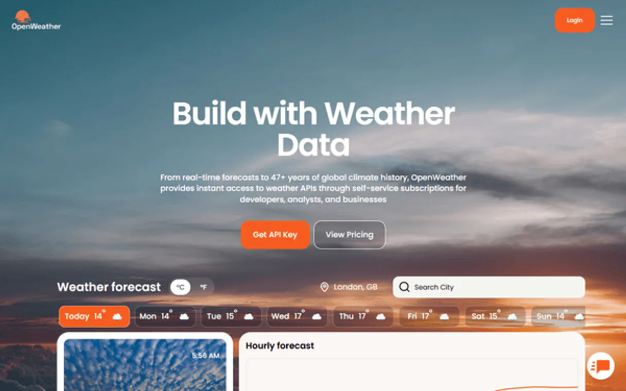
OpenWeather MCP. Access Global Weather Data in Natural Conversation
OpenWeather MCP delivers comprehensive global weather data straight from your AI client. Get real-time temperature readings, 16-day forecasts, severe weather alerts, and air quality indexes for any location on Earth. It handles everything from converting city names to coordinates to pulling historical climate records.
Give Claude and any AI agent real-world access
Retrieve real-time data, including temperature, wind, humidity, and visibility for a specific location.
Generate multi-day forecasts, offering both high-level daily summaries (up to 16 days) and detailed hourly breakdowns with precipitation chance.
Check the current Air Quality Index (AQI) or get a four-day forecast detailing pollutant concentrations for any spot.
Pull specific weather metrics, like temperature and wind speed, for any date in history.
Convert a city name into precise latitude/longitude coordinates, or vice versa, to target the right data set.
Ask an AI about this
Waiting for input…
What AI agents can do with OpenWeather: 11 Tools for Climate Data
These tools let your AI client perform every type of weather data retrieval imaginable—from getting current conditions to analyzing pollution trends.
Make your AI actually useful.
Add this MCP to Claude, Cursor, or Windsurf and your AI stops guessing. It gets real tools to look things up, take action, and handle the stuff you keep doing by hand.
Start using OpenWeather MCPGeocode
Takes a city name and returns the top five matching locations with their coordinates, country codes, and state names.
Get Air Quality
Gets the current air quality index for a location using required latitude/longitude...
Get Air Quality Forecast
Pulls a four-day outlook on air pollution, including AQI levels and concentrations...
Get Forecast
Retrieves a 5-day weather forecast with temperature, humidity, wind, and pressure...
Get Historical Weather
Returns detailed historical weather data for a specific past date, requiring both...
Get Current Weather
Delivers the immediate weather conditions (temperature, wind, etc.) for any city or given coordinates.
Get Daily Forecast
Provides a daily weather summary for up to 16 days, including min/max temperatures and UV index, requiring latitude/longitude.
Get Hourly Forecast
Outputs an hourly weather breakdown with temperature, humidity, wind, and...
Get Sun Times
Calculates the exact times and elevation angles for sunrise and sunset at a given...
Get Weather Alerts
Returns active severe weather warnings, including alert type, severity, and...
Reverse Geocode
Converts given coordinates back into a readable city name, state, country, and...
Security and governance baked right in.
Pick your AI client below to get set up. Just create a Vinkius account, subscribe, and you're instantly up and running. We handle the entire backend infrastructure, delivering out-of-the-box support for HTTPS Streamable, SSE, and OAuth2—zero messy routing required.
Claude AI
Open Claude Settings
Go to claude.ai, click your profile icon, then navigate to Customize → Connectors.
Add Custom Connector
Click the "+" button and select Add custom connector. Paste your Vinkius endpoint URL:
https://edge.vinkius.com/[YOUR_TOKEN_HERE]/mcp
Replace [YOUR_TOKEN_HERE] with your token
from cloud.vinkius.com. For OAuth-protected servers, expand
Advanced settings to add credentials.
Start a conversation
Open a new chat. The OpenWeather integration is available immediately — no restart needed.
Choose How to Get Started
Build a custom MCP for your own tools, or connect a ready-made integration from our catalog.
Build Your Own
Turn any API into an MCP. Import a spec, define Agent Skills, or deploy with MCPFusion.
- Import from OpenAPI, Swagger, or YAML specs
- Create Agent Skills with progressive disclosure
- Deploy to edge with MCPFusion framework
- Built in DLP, auth, and compliance on each call
- Real time usage dashboard and cost metering
- Publish to catalog or keep private
Make Your AI Do More
Start with OpenWeather, then connect any of our 5,200+ other servers whenever your AI needs more. One click, no limits.
- Use this MCP plus 5,200+ others, all in one place
- Add new capabilities to your AI anytime you want
- Connections are secured and governed automatically
- Track usage and costs across all your servers
- Works with Claude, ChatGPT, Cursor, and more
- New servers added to the catalog weekly
Independent Platform Disclaimer: Vinkius is an independent platform and is not affiliated with, endorsed by, sponsored by, verified by, or otherwise authorized by OpenWeather. All third-party trademarks, logos, and brand names are the property of their respective owners. Their use on this website is strictly for informational purposes to identify service compatibility and interoperability.
VINKIUS CLOUD
Cloud Hosted
Managed infra
V8 Isolated
Sandboxed per request
Zero-Trust Proxy
No stored credentials
DLP Enforced
Policy on each call
GDPR Compliant
EU data residency
Token Compression
~60% cost reduction
Checking Local Conditions Used to Be a Manual Nightmare
Think about planning a major event or just checking on family far away. You used to have to open three different websites: one for the current temperature, another for the 7-day forecast, and a third just for pollution alerts. Then you'd spend five minutes copying coordinates from one site and pasting them into another.
Now, you tell your agent exactly what you need—say, 'Give me the full weather picture for Miami next week.' The MCP handles all those complex data calls automatically. You get a single, unified report that includes everything from the daily forecast to active severe warnings.
OpenWeather MCP: Instant Access to Global Data
The manual steps of converting city names to coordinates using one tool, then taking those coordinates and running them through a second API for the air quality index, are gone. Your agent handles the entire chain automatically.
You don't just get data; you get certainty. You can trust that every metric—from min/max temps to pollutant levels—was pulled directly from the source.
What OpenWeather MCP does for your AI
This MCP connects your agent directly to global weather APIs, giving you far more than a simple forecast. You can ask about current conditions—temperature, wind speed, pressure, and visibility—for specific locations right now. Need to plan an outdoor event? Request the daily or hourly forecasts that include min/max temperatures, precipitation probability, and UV indexes for up to 16 days out.
The MCP also tracks air quality over four days, listing key pollutants like PM2.5 and ozone levels. Beyond predictions, you can check historical weather data for any past date or pull detailed sun times. If your workflow requires converting a city name into precise coordinates, this MCP handles that first step.
Because Vinkius hosts all these tools in one place, you don't need to connect separate services; you just use your AI client to ask the question and get the full data set back.
019d8468-9a7b-73fc-8980-fc4cb238453d How to set up OpenWeather MCP
The bottom line is, you ask for complex weather information in plain English, and this MCP handles all the necessary API calls behind the scenes.
First, subscribe to this MCP and input your unique OpenWeather API Key.
Next, tell your AI client exactly what you need—like 'What was the air quality in London last Tuesday?'
The MCP executes the request using its tools and delivers structured data directly to your agent.
Who uses OpenWeather MCP
Anyone whose job relies on location-aware planning—from event staff to logistics managers. If your workflow fails when a storm rolls in or if you need to check historical data for compliance, this MCP is what you need. Stop checking multiple weather sites and start talking to your AI.
Uses the daily forecast tool to monitor temperature swings and precipitation probability across a multi-day outdoor festival.
Checks current weather conditions or severe alerts for shipping routes before dispatching equipment or personnel.
Retrieves historical weather data to track climate changes or analyze past pollution trends in a specific region.
Benefits of connecting OpenWeather MCP
Never manually check multiple sites for weather. You can ask your agent for the 4-day air quality forecast and current conditions simultaneously, consolidating all data points into one answer.
Planning long trips? Use the daily forecast to see up to 16 days of temperature ranges and precipitation chances, eliminating guesswork when booking outdoor activities.
Need precise location context? The ability to run reverse geocode converts raw coordinates back into a usable city name, letting your agent know exactly where you are without extra steps.
For emergency planning, the weather alerts tool pulls active severe warnings instantly. You don't have to search multiple government sites; just ask for 'active alerts in [city]' and get an immediate report.
It saves time on data prep. If your task requires knowing coordinates but you only have a city name, simply run geocode first before asking for the hourly forecast.
OpenWeather MCP use cases
Planning a multi-day outdoor conference
The event manager asks their agent: 'What's the weather outlook for downtown Chicago over the next two weeks, including air quality and UV index?' The MCP runs get_daily_forecast and get_air_quality_forecast to provide comprehensive planning data.
Assessing site viability for construction
A project lead needs to know if a remote piece of land is safe for work. They ask the agent using coordinates, which triggers get_weather_alerts and get_current_weather to confirm there are no active severe warnings.
Analyzing historical climate records
A researcher needs data on how pollution changed in a factory town. They ask for the air quality forecast using get_historical_weather, specifying the exact date range required.
Optimizing travel routes mid-trip
While traveling, you need to know if your next destination is safe. You use the agent with a city name, which runs geocode first, then uses get_current_weather and get_sun_times to provide immediate context.
OpenWeather MCP tradeoffs
What to watch out for, and the recommended way to handle each one.
Assuming one tool covers everything
Asking for a multi-day forecast using only the 'get current weather' function, which will fail or give incomplete data.
If you need future planning details, use get_daily_forecast. If you need granular hourly detail, run get_hourly_forecast. Don't try to combine them into one prompt.
Forgetting the location mapping step
Trying to ask for a forecast using coordinates without knowing what they are, and receiving an error.
Always check if you have coordinates. If you only have a city name, first run geocode or reverse_geocode until your agent confirms the correct latitude/longitude pair.
Overlooking time constraints
Asking for historical weather data without specifying the date format (YYYY-MM-DD), causing the request to fail.
Remember that get_historical_weather requires both precise lat/lon coordinates AND a specific YYYY-MM-DD date string.
When to use OpenWeather MCP
Use this MCP if your workflow depends on any kind of location data, whether it's current weather, pollution levels, or historical records. You need to know what is happening at a place and time. Don't use this if you simply need general knowledge about geography; for that, a standard search tool works fine. Crucially, don't rely on this just for simple definitions of climate terms. This MCP delivers actionable, data-rich metrics like min/max temperatures or specific pollutant concentrations (PM2.5). If your task requires analyzing the relationship between multiple weather variables (e.g., how temperature correlates with air quality), then this is the right choice.
Frequently asked questions about OpenWeather MCP
How do I get an OpenWeather API key? +
Visit openweathermap.org/api, click Sign Up for a free account, go to API Keys in your account settings, and create a new key. Copy it — it's a 32-character hex string. Free tier includes 60 calls/minute.
Can I get weather alerts for my location? +
Yes! Use get_weather_alerts with lat/lon coordinates. Returns active alerts with sender name, event type, severity, description and start/end times. Useful for monitoring severe weather, floods, heat waves and other dangerous conditions.
Can I get historical weather data? +
Yes! Use get_historical_weather with lat/lon and a date in YYYY-MM-DD format. Returns the weather conditions for that specific day including temperature, humidity, wind and pressure.
How do I find coordinates for a city? +
Use geocode with the city name (e.g. 'London', 'São Paulo', 'Tokyo'). Returns the top 5 matching locations with their latitude, longitude, country code and state. Use these coordinates with other weather tools.