Mapbox MCP. Calculate real-world travel metrics for any location.
 Gemini
 Works with every AI agent you already use
…and any MCP-compatible client
Just plug in your AI agents and start using Vinkius.
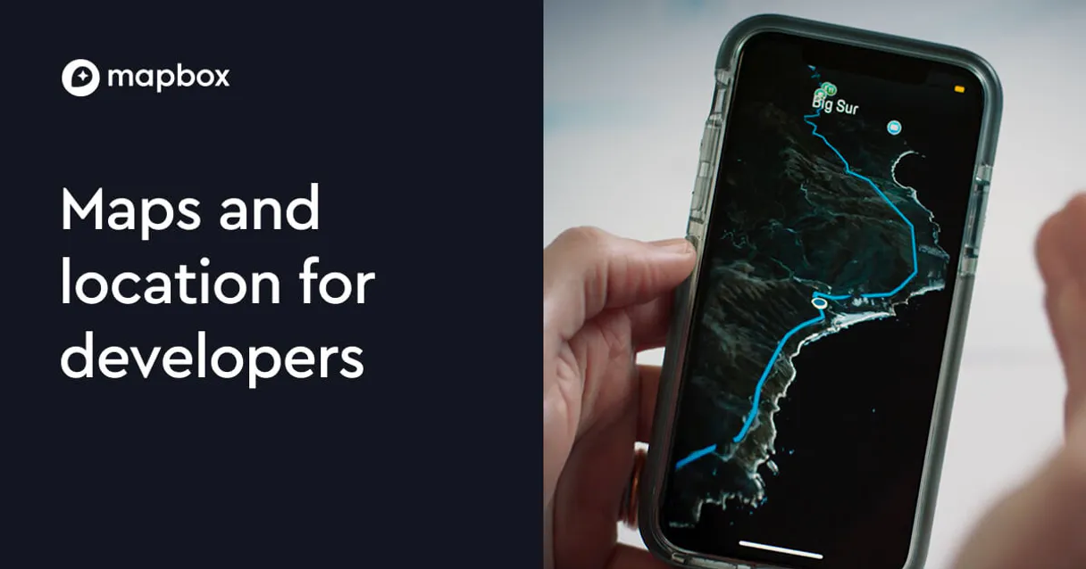
Mapbox provides world-class location services for your AI client. Use it to convert addresses into precise coordinates, calculate step-by-step driving or walking routes, determine travel times between multiple locations, and map service areas using isochrones.
It’s the core toolset for any application needing reliable geospatial data.
What your AI agents can do
Geocode
Converts a place name or full address into precise coordinates and detailed address components.
Get directions
Calculates step-by-step routes for driving, walking, or cycling between two points, including total duration and distance.
Get distance matrix
Returns a matrix showing the travel time (seconds) and distance (meters) between all pairs of specified locations.
You pass a place name or address, and the server returns precise latitude/longitude pairs along with structured components like city and postal code.
The agent calculates step-by-step instructions for driving, walking, or cycling between specified coordinates, providing total time and distance metrics.
You provide multiple origin/destination points, and the server returns a matrix of distances (meters) and estimated travel times (seconds) for every possible pairing.
The agent draws polygons showing the entire area you can reach from a central point within a set time or distance, using the get_isochrone tool.
You provide coordinates and a query (e.g., 'restaurant'), and the server returns a list of matching POIs with their addresses and distances.
Ask AI about this MCP
Supported MCP Clients
Gemini Waiting for input…
Mapbox MCP Server: 8 Tools for Geospatial Logic
Access a full suite of location tools that convert addresses to coordinates, calculate complex routes, define service boundaries, and enrich raw data points.
019d8454geocode
Converts a place name or full address into precise coordinates and detailed address components.
019d8454get directions
Calculates step-by-step routes for driving, walking, or cycling between two points, including total duration and distance.
019d8454get distance matrix
Returns a matrix showing the travel time (seconds) and distance (meters) between all pairs of specified locations.
019d8454get elevation
Retrieves the elevation data for any given set of coordinates, useful for terrain analysis.
019d8454get isochrone
Draws polygon contours that show every area reachable within a specific time or distance from an origin point.
019d8454get static map
Generates a direct image URL for a specified location, allowing you to embed the map into markdown or HTML reports.
019d8454reverse geocode
Takes raw coordinates and translates them back into the nearest readable street address and location details.
019d8454search nearby
Finds specific points of interest (e.g., 'cafe' or 'hospital') near given coordinates, returning their names and distances.
Choose How to Get Started
Build a custom MCP for your own tools, or connect a ready-made integration from our catalog.
Build Your Own
Turn any API into an MCP. Import a spec, define Agent Skills, or deploy with MCPFusion.
- Import from OpenAPI, Swagger, or YAML specs
- Create Agent Skills with progressive disclosure
- Deploy to edge with MCPFusion framework
- Built in DLP, auth, and compliance on every call
- Real time usage dashboard and cost metering
- Publish to catalog or keep private
Make Your AI Do More
Start with Mapbox, then connect any of our 4,700+ other servers whenever your AI needs more. One click, no limits.
- Use this MCP plus 4,700+ others, all in one place
- Add new capabilities to your AI anytime you want
- Every connection is secured and compliant automatically
- Track usage and costs across all your servers
- Works with Claude, ChatGPT, Cursor, and more
- New servers added to the catalog every week
What you can do with this MCP connector
This Mapbox server gives your agent world-class location services. You run complex spatial calculations—from mapping out optimal delivery routes to figuring out service areas—all through natural conversation. It's the core toolset you need when your app relies on solid, reliable geospatial data.
Geocoding and Addressing
When you pass a place name or full address, the geocode tool spits back precise latitude/longitude pairs along with detailed components like the city, postal code, and structured address parts. If you grab raw coordinates, the reverse_geocode tool translates them right back into the nearest readable street address and location details.
The system also lets you run search_nearby to pinpoint specific points of interest—say, a 'cafe' or a 'hospital'—near given coordinates; it returns their names and distances.
Routing and Movement
Calculating paths is what this server does best. You can use get_directions to generate step-by-turn instructions for driving, walking, or cycling between two points; the result includes the total distance traveled and the estimated duration. For bigger logistics jobs, you'll want to hit up get_distance_matrix. This tool takes multiple origin and destination points and spits out a matrix showing the travel time (in seconds) and distance (in meters) for every possible pairing, which is crucial for fleet management.
Determining how high up something is? Run get_elevation on any set of coordinates to get elevation data, helpful if you're analyzing terrain changes.
Service Areas and Mapping Output
Need to define a service boundary? Use get_isochrone. This tool draws polygon contours that map out every single area your client can reach from an origin point within a specific time or distance. You can also generate direct visual assets with get_static_map, which gives you an image URL for any location, letting you embed the map directly into markdown or HTML reports.
How It Works For Your Agent
It's straightforward. Your AI client uses this server by calling specific functions like geocode or get_directions. You don't write code; you just tell your agent what you want—like, 'What's the fastest route from 123 Main Street to the airport?' The agent handles passing that data through the correct tool.
It returns structured data you can immediately use in your application logic.
For example, if you need to know all potential delivery spots within a five-mile radius of a warehouse, you'll combine get_isochrone with search_nearby. If your client needs to validate an old GPS ping and figure out what address it corresponds to, that's the reverse_geocode tool for. The system handles all these complex spatial relationships—from pinpointing addresses to calculating travel time matrices—so you don't have to manage multiple mapping APIs or deal with messy data structures yourself.
How Mapbox MCP Works
- 1 First, you subscribe to the Mapbox MCP Server and input your required Access Token.
- 2 Next, you invoke a specific tool (e.g.,
get_directions) through your AI client's chat interface or code execution environment. - 3 Finally, the server processes the request against its map data and returns structured JSON containing coordinates, distances, or images.
The bottom line is: it turns complex geospatial calculations into simple API calls that run right inside your conversational agent.
Who Is Mapbox MCP For?
Civil engineers and urban planners who need to prove feasibility on paper. Logistics managers whose routes cost money per mile. Travel developers building apps that require accurate routing, not just simple map embedding.
Uses get_distance_matrix and get_isochrone to optimize delivery schedules across dozens of stops, ensuring the fastest possible total run time.
Runs search_nearby around a proposed site to verify proximity to critical infrastructure (schools, hospitals) and uses get_elevation for site feasibility reports.
Integrates get_directions into user flow, handling different modes of transport—driving, cycling, or walking—with step-by-step instructions.
What Changes When You Connect
- Accurate Routing: Stop guessing on routes. Use
get_directionsto get step-by-step instructions and precise driving, walking, or cycling times between two points. - Logistics Optimization: Don't calculate routes one pair at a time.
get_distance_matrixhandles multiple origins and destinations in one call, giving you true network efficiency data. - Service Area Planning: Need to know what's covered? Running
get_isochronedefines the exact polygon of areas reachable within 15 minutes, perfect for defining service zones. - Data Enrichment: If you only have a raw coordinate pair, use
reverse_geocode. It converts those coordinates back into a full street address and city name for reports. - Targeted Discovery: Instead of searching manually, use
search_nearbyto find every gas station or restaurant within a mile radius of your primary location marker.
Real-World Use Cases
Optimizing last-mile delivery routes
A logistics planner needs to service 45 homes in an industrial park. Instead of running 45 separate route calls, they feed all the coordinates into get_distance_matrix. The agent returns a matrix that shows which sequence minimizes total travel time and distance, allowing immediate route optimization.
Assessing new commercial site viability
A developer is looking at three potential lots. They use geocode to get the coordinates for each lot. Then, they run search_nearby on those points with a query like 'school' and 'grocery store'. This shows them instantly if the location meets minimum accessibility requirements.
Building a hiking or cycling trail map
A recreational group wants to know the total area they can cover. They use get_isochrone based on walking time and then combine that with get_elevation checks at key points to ensure the terrain is suitable for the intended activity.
Cleaning up raw dataset addresses
A database dump contains thousands of latitude/longitude pairs. The user runs reverse_geocode on all records in a batch process. This automatically converts every coordinate into a verified, readable street address for clean data export.
The Tradeoffs
Calculating distance using only geocode.
The user finds the coordinates of two points (A and B) using geocode and assumes the straight-line Euclidean distance is the drive time. They get a number, but it's useless for planning.
→
You must use get_distance_matrix or get_directions. These tools factor in actual road geometry, one-way streets, and traffic flow, giving you realistic travel time estimates.
Trying to find a POI without knowing coordinates.
The user knows they need 'coffee shops near Main Street' but doesn't have precise starting coordinates. They try to force the API with just text, and it fails.
→
First, run geocode on 'Main Street, City Name' to get a central coordinate pair. Then, pass those coordinates into search_nearby and specify the query: 'coffee shop'.
Using directions when you only need a map picture.
The user needs to include a route on a final presentation slide but calls get_directions. The response is massive JSON with step-by-step instructions, which isn't what the report needs.
→
If all you need is a visual asset, use get_static_map. It takes your coordinates and dimensions and returns a simple URL you can drop right into markdown.
When It Fits, When It Doesn't
Use this Mapbox server if the core problem involves geometry, routes, or location-based metrics. Specifically, if you need to know: 1) The distance/time between Point A and Point B, factoring in roads (get_directions); 2) The most efficient path among many points (get_distance_matrix); or 3) What area is reachable within a time limit (get_isochrone).
Don't use this server if you simply need to know the name of a city based on an address (basic geocoding tools often suffice for that). If your problem is purely about comparing two unstructured text fields, don't use it. You are paying for spatial logic; only run these tools when space and distance matter.
Independent Platform Disclaimer: Vinkius is an independent platform and is not affiliated with, endorsed by, sponsored by, verified by, or otherwise authorized by Mapbox. All third-party trademarks, logos, and brand names are the property of their respective owners. Their use on this website is strictly for informational purposes to identify service compatibility and interoperability.
VINKIUS INFRASTRUCTURE
Cloud Hosted
Managed infra
V8 Isolated
Sandboxed per request
Zero-Trust Proxy
No stored credentials
DLP Enforced
Policy on every call
GDPR Compliant
EU data residency
Token Compression
~60% cost reduction
Works with Claude, ChatGPT, Cursor, and more
The Model Context Protocol standardizes how applications expose capabilities to LLMs. Instead of operating in isolation, your AI gains direct access to external platforms, live data, and real-world actions through secure, standardized connections.
This server provides 8 capabilities that interface natively with Claude, ChatGPT, Cursor, and any MCP client. No middleware. No custom integration required.
Available Capabilities
Manually calculating routes and service areas eats time.
Right now, if you need to define a community's catchment zone—say, where local buses can reach within 20 minutes—you end up opening multiple map services. You manually plot the origin, estimate the radius, and then cross-reference that against zoning maps. It’s tedious, prone to human error, and requires stitching together data from three different APIs just to draw a basic polygon.
With Mapbox, you run `get_isochrone` once. The server handles all the complex geometry calculation for you, returning a clean polygon contour that defines exactly where service is available within the specified time limit. You get the full map boundary in seconds.
Mapbox MCP Server: Get accurate coordinates and directions.
Before Mapbox, getting a reliable starting point meant running `geocode` first, then manually taking those coordinates to another service just to check for nearby amenities. This required at least two API calls and two different data formats, making the flow brittle.
Now you can sequence the calls: Use `get_directions` for the main route, but if the user needs a quick stop along the way, the agent automatically runs `search_nearby` using the coordinates from the primary route. It's one single workflow.
Common Questions About Mapbox MCP
How do I get a Mapbox Access Token? +
Sign up for a free account at account.mapbox.com, go to Access Tokens and create a new token. Copy the token — it starts with pk..
Can I get driving directions? +
Yes! Use get_directions with coordinates and the 'driving' profile. Returns route distance, duration, step-by-step instructions and geometry. Also supports 'walking' and 'cycling' profiles.
What are isochrones used for? +
Isochrones show the area reachable within a specific time or distance from a location. Useful for delivery zones, commute analysis, real estate proximity and accessibility planning.
Can I calculate distances between multiple locations? +
Yes! Use get_distance_matrix with multiple coordinate pairs. Returns a matrix of durations (seconds) and distances (meters) between all source-destination pairs. Supports driving, walking and cycling profiles.
How does the get_directions tool handle multiple start and end coordinates? +
It accepts semicolon-separated "longitude,latitude" pairs. This format lets you process entire legs of a trip—like multiple stops—in a single call across various routing tools.
What should I do if I hit rate limits when using the geocode tool? +
The server will return an explicit error code indicating throttling. Your agent needs to catch this specific response and implement an exponential backoff delay before retrying the call.
How can I use the search_nearby tool to filter for a specific type of place? +
You pass a query string (like "gas station" or "hotel") into the search parameter. The tool filters results based on that category, giving you names and distances.
After running get_static_map, what format is the resulting output? +
The tool returns a direct, ready-to-use image URL. You can embed this link immediately into markdown or HTML for quick map visualization in your client.
Use it with your favorite AI tools
Connect this server to Cursor, Claude, VS Code, and more.
More in this category

Azure Service Bus Queue
This MCP does exactly one thing: it pulls and acknowledges messages from a single Azure Service Bus Queue. That's its only function, and nothing else. Incredible for building secure AI workers.

Laravel Forge
Manage Laravel Forge servers, orchestrate site deployments, and query databases directly from your AI agent.
AT&T 5G
Access Open Gateway 5G Network APIs -- Number Verify, Device Location, SIM Swap detection, Quality on Demand, and Network Slicing via AT&T.
You might also like

LiftedWork
Connect job seekers with employment opportunities through a platform that matches skills to openings and tracks applications.

Redo
Manage returns, track shipping protection claims, and oversee exchanges via AI agents with Redo.

Finch
Connect Finch to automate HRIS and Payroll integration — list employees, retrieve employment data, and manage pay statements directly from your AI agent.