Bring Geospatial Routing
to LlamaIndex
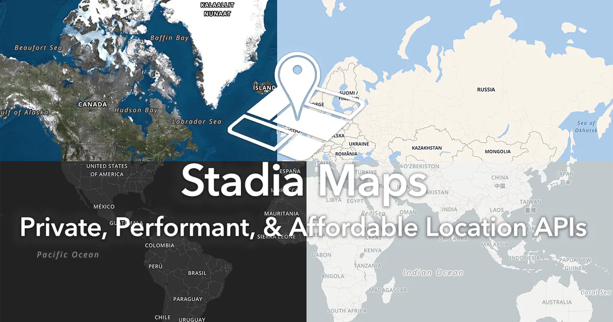
Learn how to connect Stadia Maps to LlamaIndex and start using 10 AI agent tools in minutes. Fully managed, enterprise secure, and ready to use without writing a single line of code.
What is the Stadia Maps MCP Server?
Imbue your artificial intelligence environment with the geospatial and routing capabilities of Stadia Maps. Seamlessly audit logistical questions and compute optimal transit routes across numerous delivery points without leaving your conversational interface. Empower your assistant to translate standard addresses into precise geographic coordinates, calculate time-and-distance matrices objectively, or parse topographical elevation data efficiently, connecting global mapping infrastructure directly to your local workflows.
What you can do
- Geospatial Coordination — Convert physical addresses into exact coordinates using
forward_geocode, or deduce properties from latitude and longitude viareverse_geocode. - Route Computation — Instruct your AI to generate accurate driving vectors between locations via
calculate_route, and establish extensive routing cost-matrices utilizingcalculate_distance_matrix. - Logistical Optimization — Resolve complex routing problems automatically with
optimized_trip_route, and map exact reachable perimeters utilizingcalculate_isochrone. - Topography & Precision — Align raw GPS tracks to official street networks accurately with
execute_map_matching, and retrieve detailed elevation metrics applyingget_path_elevation.
How it works
1. Connect the Stadia Maps MCP module natively to your active AI environment.
2. Securely provide your Developer API Key within the MCP configuration.
3. Engage your coding assistant: "Plot the most efficient vehicle route intersecting these specific delivery coordinates."
Who is this for?
- Logistics Engineers — Construct and test delivery scheduling models natively, instructing the AI to solve complex routing problems.
- GIS Data Analysts — Accurately refine and correct noisy fleet GPS tracker data points entirely through the integration.
- Fleet Dispatchers — Audit and establish local timezone contexts for globally distributed assets effectively.
Built-in capabilities (10)
Provides predictive address suggestions based on partial input
Calculates distances and travel times between multiple points
Calculates an area reachable within a specific time or distance
Locations should be a JSON array of {lat, lon}. Costing can be "auto", "bicycle", or "pedestrian". Calculates a route between multiple geographic points
Snaps raw GPS points to the road network
Converts a physical address string into geographic coordinates
Retrieves elevation/height data for a specific geographic path
Retrieves the local timezone for specific geographic coordinates
Returns the optimized path. Calculates the most efficient route between multiple stops
Converts geographic coordinates into a physical address
Why LlamaIndex?
LlamaIndex agents combine Stadia Maps tool responses with indexed documents for comprehensive, grounded answers. Connect 10 tools through Vinkius and query live data alongside vector stores and SQL databases in a single turn. ideal for hybrid search, data enrichment, and analytical workflows.
- —
Data-first architecture: LlamaIndex agents combine Stadia Maps tool responses with indexed documents for comprehensive, grounded answers
- —
Query pipeline framework lets you chain Stadia Maps tool calls with transformations, filters, and re-rankers in a typed pipeline
- —
Multi-source reasoning: agents can query Stadia Maps, a vector store, and a SQL database in a single turn and synthesize results
- —
Observability integrations show exactly what Stadia Maps tools were called, what data was returned, and how it influenced the final answer
Stadia Maps in LlamaIndex
Stadia Maps and 3,400+ other MCP servers. One platform. One governance layer.
Teams that connect Stadia Maps to LlamaIndex through Vinkius don't need to source, host, or maintain individual MCP servers. Every tool call runs inside a hardened runtime with credential isolation, DLP, and a signed audit chain.
Raw MCP | Vinkius | |
|---|---|---|
| Server catalog | Find and host yourself | 3,400+ managed |
| Infrastructure | Self-hosted | Sandboxed V8 isolates |
| Credential handling | Plaintext in config | Vault + runtime injection |
| Data loss prevention | None | Configurable DLP policies |
| Kill switch | None | Global instant shutdown |
| Financial circuit breakers | None | Per-server limits + alerts |
| Audit trail | None | Ed25519 signed logs |
| SIEM log streaming | None | Splunk, Datadog, Webhook |
| Honeytokens | None | Canary alerts on leak |
| Custom domains | Not applicable | DNS challenge verified |
| GDPR compliance | Manual effort | Automated purge + export |
Why teams choose Vinkius for Stadia Maps in LlamaIndex
The Stadia Maps MCP Server runs on Vinkius-managed infrastructure inside AWS — a purpose-built runtime with per-request V8 isolates, Ed25519 signed audit chains, and sub-40ms cold starts. All 10 tools execute in hardened sandboxes optimized for native MCP execution.
Your AI agents in LlamaIndex only access the data you authorize, with DLP that blocks sensitive information from ever reaching the model, kill switch for instant shutdown, and up to 60% token savings. Enterprise-grade infrastructure, zero maintenance.
* Every MCP server runs on Vinkius-managed infrastructure inside AWS - a purpose-built runtime with per-request V8 isolates, Ed25519 signed audit chains, and sub-40ms cold starts optimized for native MCP execution. See our infrastructure
How Vinkius secures
Stadia Maps for LlamaIndex
Every tool call from LlamaIndex to the Stadia Maps MCP Server is protected by DLP redaction, cryptographic audit chains, V8 sandbox isolation, kill switch, and financial circuit breakers.
Frequently asked questions
Does it return visual maps or raw data?
Raw structured JSON only — coordinates, distances, durations, and elevation values. No interactive map tiles are rendered. You can use the data to plot maps in your own application.
Does `optimized_trip_route` solve the Traveling Salesman Problem?
Yes. Pass an unordered set of coordinates and it returns the optimal visit sequence minimizing total travel time or distance.
Is there a free tier?
Yes. Stadia Maps offers a free tier with generous limits for geocoding, routing, and elevation queries. Sign up at stadiamaps.com and generate an API key from the dashboard.
How does LlamaIndex connect to MCP servers?
Use the MCP client adapter to create a connection. LlamaIndex discovers all tools and wraps them as query engine tools compatible with any LlamaIndex agent.
Can I combine MCP tools with vector stores?
Yes. LlamaIndex agents can query Stadia Maps tools and vector store indexes in the same turn, combining real-time and embedded data for grounded responses.
Does LlamaIndex support async MCP calls?
Yes. LlamaIndex's async agent framework supports concurrent MCP tool calls for high-throughput data processing pipelines.
BasicMCPClient not found
Install: pip install llama-index-tools-mcp